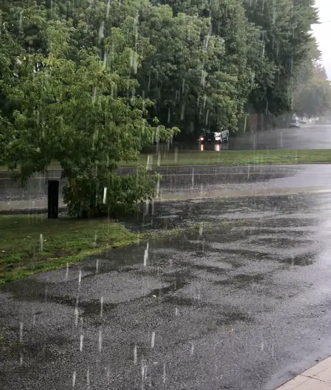
“The remants of Beryl, now reflected as a tropical depression in Arkansas, will head northeast combined with a cold front and bring our area drenching rain Wednesday and Wednesday night. There is the potential for more than 40mm of rain by Wednesday night.”
Potential for heavy rainfall due to the remnants of Hurricane Beryl Wednesday and Thursday. Hazards: Torrential downpours giving rainfall rates of 20 to 40 mm per hour at times. Localized rainfall totals possibly well in excess of 50 mm.
Timing: Beginning late tonight or Wednesday, and continuing into Thursday. Confidence: Confidence in the track of the weather system and associated rainfall amounts is low at this point.
Discussion: Heavy rainfall associated with the remnants of Hurricane Beryl may affect portions of southern Ontario beginning tonight or Wednesday, and may persist into Thursday.
Although confidence in the exact track of the weather system is low, these types of systems in the past have given very high rainfall rates in torrential downpours.
Rainfall warnings may be issued as confidence in the track of the system increases.
For information concerning flooding, please consult your local Conservation Authority or Ontario Ministry of Natural Resources and Forestry office. Visit Ontario.ca/floods for the latest details.


