


THIS WARNING POSTED FOR THE QUINTE REGION BY ENVIRONMENT CANADA AT 9:28 SUNDAY NIGHT
Winter storm conditions beginning tonight.
Hazards:
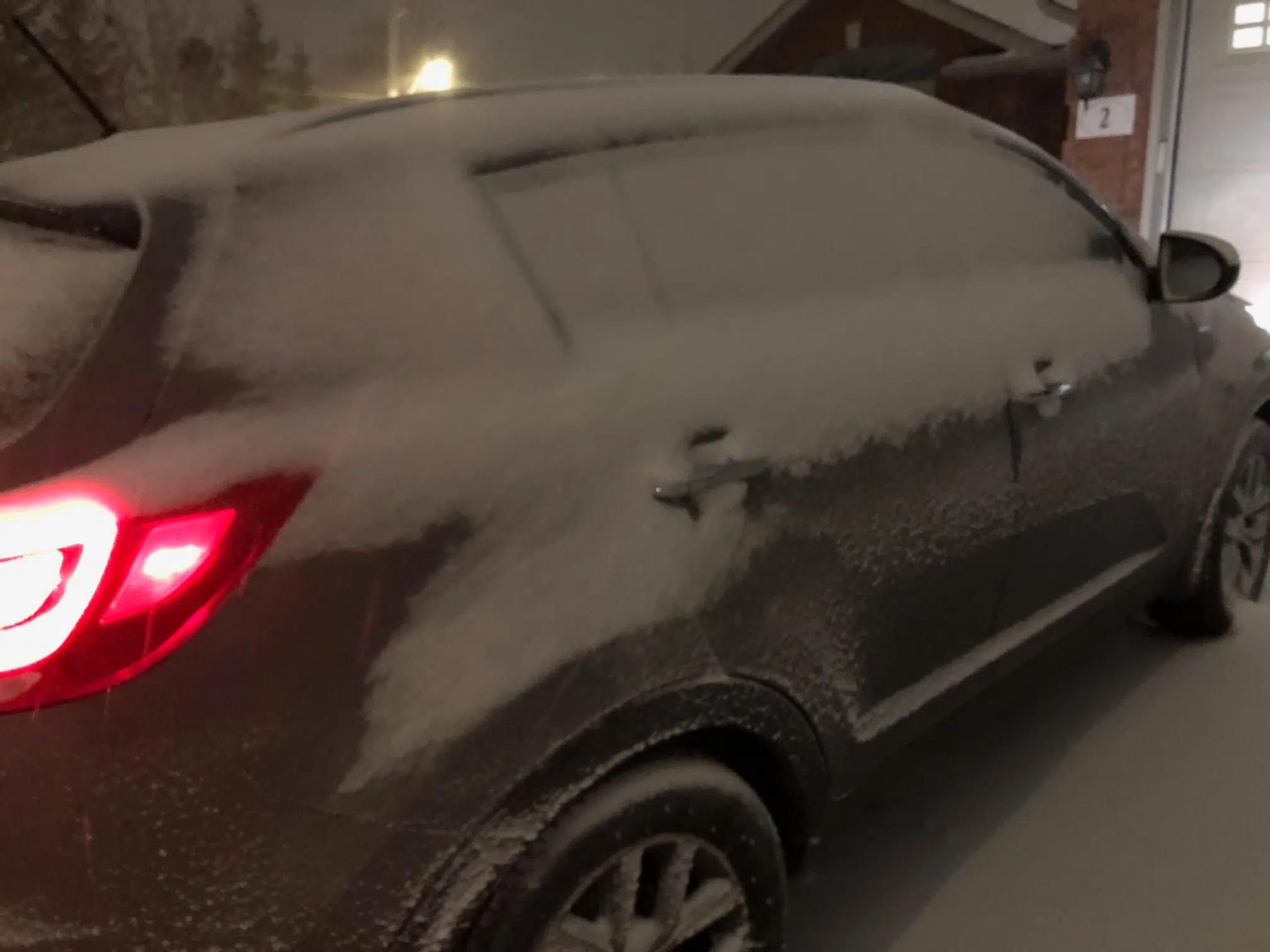
Total snowfall amounts of 25 to 40 cm.
Snow, at times heavy, with peak snowfall rates of 4 to 6 cm per hour possible Monday morning, which could significantly reduce visibilities.
Local blowing snow due to wind gusts of up to 60 km/h.
When: Tonight through Monday evening.
Discussion: A low pressure system tracking south of the Great Lakes will bring significant snowfall to the region. Heavy snow will likely significantly impact Monday commutes. Local blowing snow is also possible Monday afternoon and evening with gusty northerly to northwesterly winds.
Impacts:
Consider postponing non-essential travel until conditions improve. Surfaces such as highways, roads, walkways and parking lots may become difficult to navigate due to accumulating snow. Visibility may be suddenly reduced at times in heavy snow. There may be a significant impact on rush hour traffic in urban areas. Take frequent breaks and avoid strain when clearing snow.
Please continue to monitor alerts and forecasts issued by Environment Canada. To report severe weather, send an email to ONstorm@ec.gc.ca or tweet reports using #ONStorm.
