


In addition to a wind warning, Environment Canada has also issued a snow squall warning for the region.
More details below:
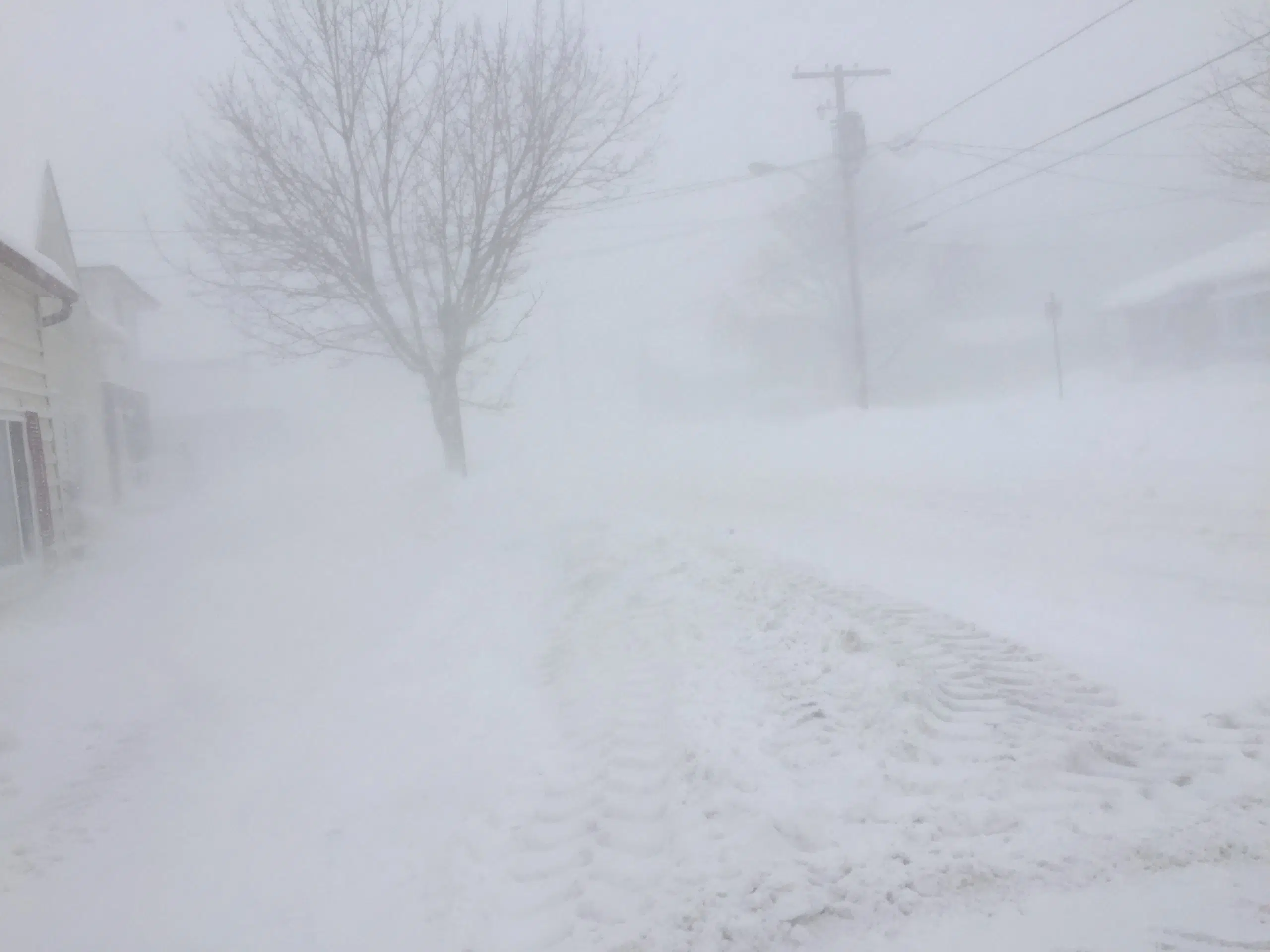
YELLOW WARNING – SNOW SQUALL
Impact Level: Moderate
Forecast Confidence: High
Brief, intense snowfall and blowing snow expected.
What: Near zero visibility in heavy snow and blowing snow. Snowfall amounts up to 5 cm within one hour.
When: This afternoon.
Additional information: A sharp cold front is expected to track over the area. Along this cold front a sudden intense snowfall is expected. Poor visibility in blowing snow is likely, as strong northwesterly wind gusts are expected. Travel will likely be hazardous. Prepare for quickly changing and deteriorating travel conditions.
YELLOW WARNING – WIND
Impact Level: Moderate
Forecast Confidence: High
Strong winds expected today.
What: Strong southwesterly wind gusts of 80 to 90 km/h, except up to 100 km/h near Lake Ontario.
When: Today. Easing tonight.
Additional information. Strong southwesterly winds will become northwesterly this afternoon or this evening. Wind gusts up to 70 km/h may still be possible tonight after winds switch northwesterly. Local utility outages are possible. Damage to roofs, fences, branches or soft shelters is possible. Some property damage is possible. Secure loose objects.
