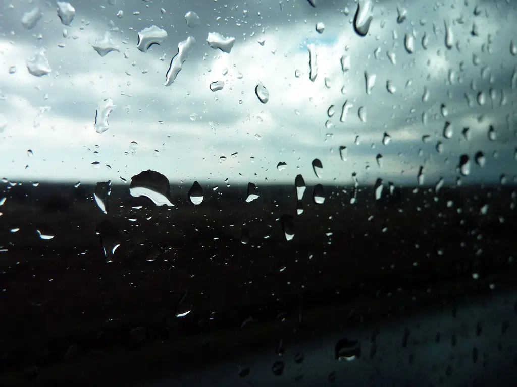
Thursday’s rainfall set a new record in the Quinte region.
Readings taken at CFB Trenton show 26.2 mm of rain fell, breaking the previous record for April 11 of 25.8 mm set in 2008.
While another 10-15 mm of rain is forecast for Friday with precipitation tapering off throughout the day, another record is less likely as the highest amount recorded on April 12 is 33.8 mm, set in 2013.
And as the rain tapers off, the wind is expected to pick up.
In a special weather statement, Environment Canada says strong northwesterly winds bringing gusts of 70 to 80 km/h will begin late Friday afternoon or Friday evening and continue overnight.
ENVIRONMENT CANADA SPECIAL WEATHER STATEMENT
Significant rainfall continues this morning. Strong northwesterly wind gusts tonight.
Hazards: Additional rainfall amounts of 15 to 25 mm. Northwesterly winds gusting 70 to 80 km/h. A few gusts may exceed 80 km/h near to Georgian Bay.
Timing: Rain will taper to showers early this afternoon. Strong northwesterly winds tonight.
Discussion: Periods of rain will taper to showers early this afternoon. Northwesterly winds will intensify this evening with gusts of 70 to 80 km/h. For areas near to Georgian Bay, wind gusts may approach 90 km/h this evening. Winds will ease late tonight into Saturday morning as the low pressure system departs. Heavy downpours can cause flash floods and water pooling on roads. Localized flooding in low-lying areas is possible.
For information concerning flooding, please consult your local Conservation Authority or Ontario Ministry of Natural Resources and Forestry office. Visit Ontario.ca/floods for the latest details.
Strong wind gusts may toss loose objects or cause tree branches to break.
Utility outages may occur.


