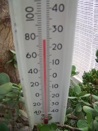
Hot and humid conditions are expected for the next few days.
Hazards: Maximum temperatures of 30 to 35 degrees Celsius. Humidex values near 40. Timing: A cooler air mass is expected Wednesday night or Thursday.
Discussion: A hot and humid airmass is expected through at least mid-week. As the week progresses, daytime highs are expected to increase to near 31 to 35 degrees Celsius. The hottest days look to be Tuesday and Wednesday. Overnight lows for some areas will fall to just below alert criteria mainly in rural areas. Humidex values and daytime highs will be very atypical of early September.
The passage of a cold front will bring an end to the heat later this week but the timing of the front is still uncertain. Hot and humid air can also bring deteriorating air quality and can result in the Air Quality Health Index approaching the high risk category.
The risks are greater for young children, pregnant women, older adults, people with chronic illnesses and people working or exercising outdoors. Watch for the effects of heat illness: swelling, rash, cramps, fainting, heat exhaustion, heat stroke and the worsening of some health conditions.
Drink plenty of water even before you feel thirsty and stay in a cool place. Check on older family, friends and neighbours. Make sure they are cool and drinking water Never leave people or pets inside a parked vehicle. Outdoor workers should take regularly scheduled breaks in a cool place.
Please continue to monitor alerts and forecasts issued by Environment Canada. To report severe weather, send an email to ONstorm@ec.gc.ca or tweet reports using #ONStorm.


