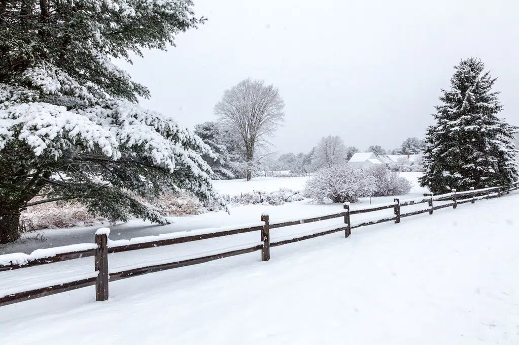
We are expecting a multi-day snowfall event Wednesday through Friday.
Hazards:
Total snowfall accumulations of 10 to 20 cm by Friday.
Risk of freezing rain during the transition from rain to snow.
Reduced visibilities due to snow and local blowing snow.
Timing:
Wednesday morning through Friday morning.
Discussion:
Freezing rain or rain showers tonight will transition to snow by Wednesday night. Areas farther west will see a quicker changeover. Snow is expected to taper on Friday.
Please continue to monitor alerts and forecasts issued by Environment Canada. To report severe weather, send an email to ONstorm@ec.gc.ca or tweet reports using #ONStorm.
THE ABOVE IS A SPECIAL WEATHER STATMENT FROM ENVIRONMENT CANADA ISSUED AT 6:21 A.M. TUESDAY FEBRUARY 1, 2022


