


Water levels remain high across the Great Lakes basin. The four upper Great Lakes are near- or above record-high levels, while Lake Ontario is still well above average, but also well below record levels. Lake Ontario is now likely to remain below record-highs through the spring. This is largely due to favorable weather conditions, but also demonstrates the effectiveness of water regulation to help the system recover after the recent record-high water events.
A mild winter and early spring, along with only moderately wet conditions so far this year, have resulted in less water flowing into Lake Ontario and the St. Lawrence River when compared to 2017 and 2019, and has allowed the release of outflows near or above record-rates over the past several months. Following record-outflows in winter, this spring the Ottawa River freshet has evolved in a manner that allows the Board to continue to release high outflows, as it follow its strategy to maximize outflows to lower the water level of Lake Ontario.
Nonetheless, levels of Lake Ontario and the lower St. Lawrence River remain elevated. The high inflows from the upper Great Lakes and the weather conditions during this winter and spring clearly demonstrate their predominant influence over Lake Ontario water levels.
Recent Conditions within the Lake Ontario – St. Lawrence River system:
- Lake Erie’s level was 175.05 m (574.31 ft) yesterday, which is 78 cm (30.7 in.) above average, 7 cm (2.8 in.) above the record-high set at this time in 1985, and this is driving higher-than-average inflows into Lake Ontario
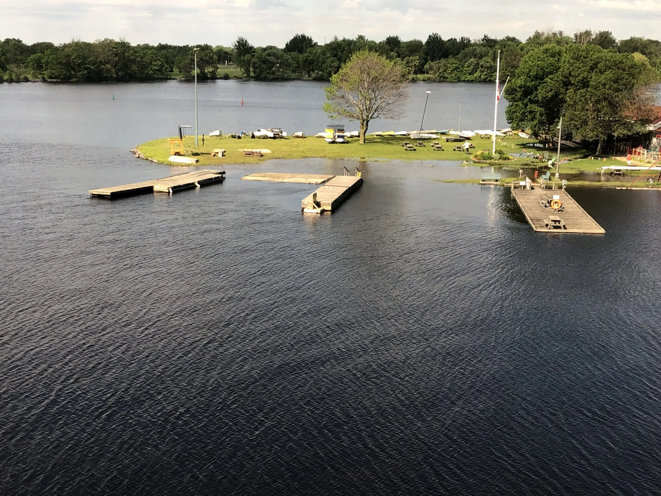
- Lake Ontario’s level is 75.35 m (247.21 ft), which is 40 cm (15.7 in.) above average but 34 cm (13.4 in.) below the record levels set in 1973.
- Compared to 2017, Lake Ontario water levels are 7 cm (2.8 in) lower, as conditions have been milder and drier, Ottawa River flows are lower as a result, and this is allowing outflows to be much higher.
- Compared to 2019, while Lake Ontario water levels are 17 cm (6.7 in) higher, it was only in mid-April last year that an exceptional Ottawa River snowpack started melting rapidly with mild and wet weather, eventually leading to unprecedented Ottawa River flows in both peak and duration. This spring is different in that much of the snowpack has already melted and much less snow remains on the ground than at this time last year.
- Without the dredging for the construction of the St. Lawrence Seaway and the outflow regulation possible with the Moses-Saunders dam, the water level of Lake Ontario would be nearly 85 centimetres (2.8 ft) higher.
Future Conditions within the Lake Ontario – St. Lawrence River system:
- The Ottawa River flows remained elevated following rain and snow melt in recent weeks, but have stabilized and declined slightly over the past several days. Further declines are expected. http://ottawariver.ca/forecast/ottawa-river-at-carillon/
- Declining Ottawa River flows are allowing outflows from Lake Ontario to increase. At this time, the flood limit (F Limit) continues to be the limiting factor as levels at Lake St. Louis remain near minor flood-stage.
- The navigation limit (L Limit) has yet to apply this spring, but at some point in the coming days or weeks, inflows to the lower St. Lawrence River will decrease to the point when the L Limit will become the controlling limit.
- Inflows from Lake Erie remain at record highs, and this will continue to contribute significant volumes of water to Lake Ontario, sustain its well-above-average water levels, and inhibit any rapid lowering.
- With seasonable weather conditions forecast for the coming weeks and considering current levels, Lake Ontario will likely peak below the levels observed in 2017 and 2019.
Water levels of Lake Ontario are still well above their seasonal average, and strong winds can still cause significant damage and temporary surges in local water levels. Communities should continue to invest in long-term coastal resiliency measures to lessen the impact during high and low waters.
Please note that the Board has created a website page focused on the recent high-water events: https://ijc.org/en/loslrb/q&a (English) [https://www.ijc.org/fr/clofsl/questions (French)]. All high-water related materials are now in one easily accessible place.
Information on hydrologic conditions, water levels and outflows, including graphics and photos, are available on the Board’s website and posted to the Board’s Facebook page at https://www.facebook.com/InternationalLakeOntarioStLawrenceRiverBoard (English), and more detailed information is available on its website at https://www.ijc.org/en/loslrb.
