


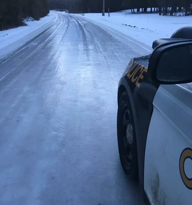
BELOW IS A WINTER STORM WARNING ISSUED FOR MUCH OF THE QUINTE AREA BY ENVIRONMENT CANADA AT 10:28 P.M. WEDNESDAY
Snow and freezing rain expected this evening into Thursday morning.
Freezing rain is expected to change to rain or snow near midnight. Any remaining freezing rain will then change back over to heavy snow overnight.
Total snowfall amounts of 15 to 25 cm are possible by late Thursday with highest amounts expected away from the Lake Ontario shoreline.
Consider postponing non-essential travel until conditions improve. Prepare for quickly changing and deteriorating travel conditions.
Please continue to monitor alerts and forecasts issued by Environment Canada. To report severe weather, send an email to ONstorm@canada.ca or tweet reports using #ONStorm.
BELOW IS A FREEZING RAIN WARNING ISSUED FOR SOUTHERN PRINCE EDWARD COUNTY AND NAPANEE BY ENVIRONMENT CANADA AT 10:35 P.M. WEDNESDAY
Freezing rain expected this evening.
Freezing rain is expected to change to rain overnight and to snow early Thursday morning.
Total snowfall amounts of 5 to 10 cm are possible by Thursday afternoon.
Surfaces such as highways, roads, walkways and parking lots may become icy and slippery.
Freezing rain warnings are issued when rain falling in sub-zero temperatures creates ice build-up and icy surfaces.
