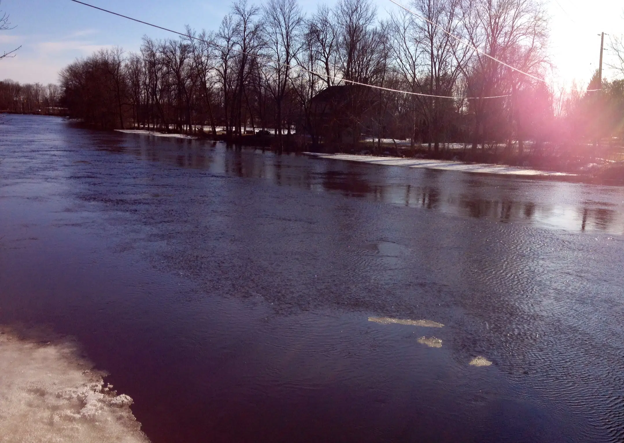
The Quinte Conservation Watershed received less than the anticipated rainfall of 65 mm over the Easter weekend.
Just over 15 mm of rainfall was recorded in the southern portions of the watershed.
A high of 30 mm was recorded at the rain gauge on Hwy. 7 near Deloro, along with 40 mm being recorded in the northern regions, including, at the Depot Lakes near Verona.
The Town of Bancroft, just north of the Quinte Watershed received almost 60 mm of rainfall.
The rainfall experienced in Bancroft will not impact flows in the Quinte watershed as the York River drains to the Ottawa River.
It is expected that rivers in the northern region of the Moira and the Salmon watersheds will approach 2014 flood levels.
Stoco Lake is approaching a one in one hundred year return period flood (this is the regulatory flood for the Quinte Conservation Watershed that has a one per cent probability of occurring in any given year). Lake levels are not expected to exceed 2014 levels.
Beaver Lake in the Napanee Region Watershed is approaching a one in one hundred year flood and 2014 water levels.
The Moira River, downstream of Stoco Lake, and the Napanee River, will not surpass 2014 flood levels; however, the rain anticipated for April 23rd will extend water level peak times on these rivers.
Moira Lake levels will be well below 2014 highs.
It is expected that Foxboro will not surpass a one in ten year flood. Properties that normally flood will. Residents are advised to take the necessary precautions to protect their property.
Localized road washouts have been reported throughout the Quinte Watershed. Residents are recommended to check in with their municipalities and to obey all road closures and signs.
Lake Ontario could rise approximately 20 cm over the next two weeks. High winds during periods of elevated lake levels could cause shoreline erosion.
The public is reminded that Quinte Conservation does not provide sandbags to residents. If you require sandbags, contact your local municipality or hardware store.
Staff will continue to monitor conditions and will provide an update if forecasts and conditions change. For current water levels or to report any observations of flooding, residents are encouraged to visit QuinteConservation.ca.
A Flood Warning statement notifies that flooding is imminent or already occurring in specific watercourses or municipalities. Municipalities and individuals should take action to deal with flood conditions. This may include road closures and evacuations.
This message will be in effect until (or updated if anything significant changes before) Monday, April 29, 2019.
Lower Trent Conservation advises local municipalities and the public that a Flood Warning is now issued for Rice Lake and Trent River from Hastings to Trenton.
The Trent River system is in full spring freshet with the rain received over the Easter weekend and the warm temperatures melting the snowpack in the northern sections of the river basin in the Haliburton, Central Lakes and Upper Crowe areas. There is still some remaining snowpack in these north areas and with the 10 to 15 mm rain predicted for Tuesday/Wednesday this week, the flows will be sustained.
Flows on the Burnt River peaked overnight at a record setting 240 cms (cubic metres per second) and Parks Canada is managing water levels on the Kawartha Lakes with these high inflows. Outflows from the Kawartha Lakes, through the Otonabee River, into Rice Lake and down the Trent River are expected to increase for the next five days. Operations are planned at Hastings to maximize outflows from Rice Lake as it reaches full conditions. Flows into the Trent River from the Crowe River are at 190 cms and are still trending upwards.
Parks Canada will continue to operate the dams along the Trent River to facilitate flow to the Bay of Quinte. With these increasing flows and water levels continuing at the same rate of rise, or increasing, this Flood Warning for Rice Lake and the Trent River is now issued.
Lower Trent Conservation will be maintaining daily contact with Parks Canada, the Provincial Surface Water Monitoring Centre and neighbouring Conservation Authorities to ensure we are aware of all dam operations and conditions that may affect the water levels on local waterways.
This Flood Watch will be in effect until (or updated before) Monday, April 29th, 2019.


