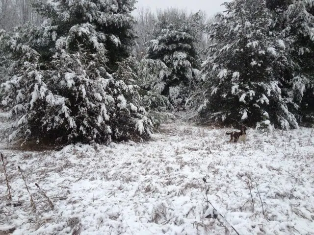
Environment Canada is now predicting more snow for our region than it had yesterday.
Below is the agencies “snowfall warning”.
Belleville – Quinte West – Eastern Northumberland County
Cobourg – Colborne – Western Northumberland County
Significant snow is expected to begin this morning and end tonight.
Snow associated with a developing Colorado low will move into eastern Ontario later this morning. The snow will fall heavily at times this afternoon and evening before tapering off tonight.
Total snowfall accumulations of 15 to 25 cm are likely by Monday morning.
Be prepared to adjust your driving with changing road conditions. Rapidly accumulating snow will make travel difficult. Surfaces such as highways, roads, walkways and parking lots may become difficult to navigate due to accumulating snow. If visibility is reduced while driving, turn on your lights and maintain a safe following distance.
Please continue to monitor alerts and forecasts issued by Environment Canada. To report severe weather, send an email to ec.cpio-tempetes-ospc-storms.ec@canada.ca or tweet reports to #ONStorm.
Meanwhile, in its 24 hour forecast for our region, Environment Canada forecasts snow, at times heavy, to fall from around 8 this morning (Sunday) to 9 o’clock this evening, a total of
13 hours. After that, the intensity of the storm is predicted to ease off, but there will still be a good chance of flurries.


